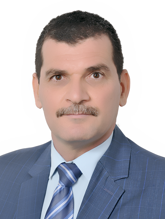
امزاحم عبد الكريم علوان
الجامعة التكنولوجية
imzahim.a.alwan@uotechnology.edu.iq
Remote Sensing Environmental Engineering, Remote sensing water resource Engineering, Geomatics Engineering, Digital Elevation Model, Geospatial Science, Surveying Engineering, Photogrammetry, Topography, Geoinformation, Digital Mapping, Lidar Remote sensing, Satellite image analysis.
معرف سكوباس
57202302786
معامل هيرتش
12
عدد البحوث
47
عدد الاستشهادات
519
Earth and Planetary Sciences (miscellaneous)
Aquatic Science
Waste Management and Disposal
Chemical Engineering (all)
Mechanical Engineering
Biochemistry, Genetics and Molecular Biology (all)
Agronomy and Crop Science
Medicine (all)
Civil and Structural Engineering
Materials Science (miscellaneous)
Renewable Energy, Sustainability and the Environment
Biotechnology
Ecology
Computer Science (miscellaneous)
Earth-Surface Processes
Ecology, Evolution, Behavior and Systematics
Aerospace Engineering
Environmental Science (miscellaneous)
Signal Processing
Engineering (all)
Management, Monitoring, Policy and Law
Chemistry (all)
Environmental Engineering
Pollution
Geotechnical Engineering and Engineering Geology
Engineering (miscellaneous)
Horticulture
Geology
Earth and Planetary Sciences (all)
Animal Science and Zoology
Materials Science (all)
Public Health, Environmental and Occupational Health
Computer Science (all)
Oceanography
Building and Construction
Environmental Science (all)
Electrical and Electronic Engineering
Multidisciplinary
Geography, Planning and Development
Computers in Earth Sciences
Applied Mathematics
Water Science and Technology
Physics and Astronomy (all)
Food Science
| عنوان البحث | تاريخ النشر | اسم المجلة | رابط |
|---|---|---|---|
| Identifying Suitability Rainwater Harvesting Zones in Diyala Watershed, Iraq, Using Multi-Criteria Analysis and GIS Modelling | 2023-01-01 | Iop Conference Series Earth and Environmental Science | عرض |
| Smart city 3D modeling with a total station and a smartphone | 2023-01-01 | Iop Conference Series Earth and Environmental Science | عرض |
| Analysis of Water Harvesting Structures Sites Appropriateness Using GIS-Based Methodology: Diyala, Iraq, as a Case Study | 2023-01-01 | Iop Conference Series Earth and Environmental Science | عرض |
| Potential use of groundwater for irrigation purposes in the Middle Euphrates region, Iraq | 2022-10-01 | Sustainable Water Resources Management | عرض |
| Monitoring of surface ecological change using remote sensing technique over Al-Hawizeh Marsh, Southern Iraq | 2022-08-01 | Remote Sensing Applications Society and Environment | عرض |
| Impact of Climate Change on Crops Productivity Using MODIS-NDVI Time Series | 2022-06-01 | Civil Engineering Journal Iran | عرض |
| Spatiotemporal Evaluation of Eutrophication State in the Hammar Marsh Using A Satellite-Based Model | 2022-01-10 | Iop Conference Series Earth and Environmental Science | عرض |
| 2d-hec-ras modeling of flood wave propagation in a semi-arid area due to dam overtopping failure | 2021-09-01 | Civil Engineering Journal Iran | عرض |
| Land covers monitoring for Bahar-Al-Najaf (Iraq) based on sentinel-2 imagery | 2021-08-31 | Journal of Physics Conference Series | عرض |
| Assessing land cover for Bahar Al-Najaf using maximum likelihood (ML) and artificial neural network (ANN) algorithms | 2021-08-31 | Journal of Physics Conference Series | عرض |
| An accuracy analysis comparison of supervised classification methods for mapping land cover using sentinel 2 images in the al-hawizeh marsh area, southern iraq | 2021-01-01 | Geomatics and Environmental Engineering | عرض |
| Potential water harvesting sites identification using spatial multi-criteria evaluation in Maysan Province, Iraq | 2020-04-01 | ISPRS International Journal of Geo Information | عرض |
| Investigations of the road pavement surface conditions using MATLAB image processing | 2020-03-05 | Iop Conference Series Materials Science and Engineering | عرض |
| Building-up Affordable Data Collection System to Provide 3D Scaled Image for Heritage Documentation | 2020-03-05 | Iop Conference Series Materials Science and Engineering | عرض |
| Selection of Suitable Precipitation CMIP-5 Sets of GCMs for Iraq Using a Symmetrical Uncertainty Filter | 2020-01-17 | Iop Conference Series Materials Science and Engineering | عرض |
| Hydrological model for Hemren dam reservoir catchment area at the middle River Diyala reach in Iraq using ArcSWAT model | 2019-07-01 | Applied Water Science | عرض |
| Agro-Climatic Zones (ACZ) Using Climate Satellite Data in Iraq Republic | 2019-06-05 | Iop Conference Series Materials Science and Engineering | عرض |
| Utilization of reconnaissance drought index (RDI) for monitoring of meteorological drought over middle Euphrates region during the period from 1988 to 2017 | 2019-06-05 | Iop Conference Series Materials Science and Engineering | عرض |
| Groundwater Aquifer Suitability for Irrigation Purposes Using Multi-Criteria Decision Approach in Salah Al-Din Governorate/Iraq | 2019-06-01 | Agriengineering | عرض |
| Investigate the optimum agricultural crops production seasons in Salah al-din governorate utilizing climate remote sensing data and agro-climatic zoning | 2019-01-01 | Iraqi Journal of Science | عرض |
| Accuracy assessment of cadastral maps using high resolution aerial photos | 2018-03-07 | Matec Web of Conferences | عرض |
| Sediment predictions in Wadi Al-Naft using soil water assessment tool | 2018-03-07 | Matec Web of Conferences | عرض |